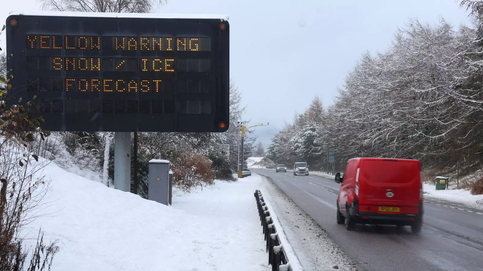
The UK is facing significant challenges as Storm Bert sweeps across the region, leading to widespread travel disruptions, extreme weather conditions, and a heightened risk of flooding. With the Met Office issuing a series of weather warnings, it is essential for the public to be informed about the implications of this storm on daily activities, especially travel plans. The storm has brought snow, rain, and strong winds, creating hazardous conditions that are affecting various parts of the country.
Weather Warnings and Flood Alerts
The atmospheric upheaval caused by Storm Bert has prompted a slew of weather warnings, primarily yellow and amber, reflecting a range of potential dangers. England and Scotland have been put on alert with 16 flood advisories in effect, signaling that flooding could become an imminent threat. A notable aspect of this storm is the rare red warning issued in parts of Ireland, indicating exceptionally severe weather that may lead to life-threatening conditions. The overarching message from meteorologists and local authorities is clear: residents must remain vigilant as conditions deteriorate.
Geographic Impact of the Storm
While most regions are grappling with various weather warnings, a few areas—primarily urban centers such as London, Birmingham, and Liverpool—have been spared from immediate alerts. Yet, the threat remains omnipresent, particularly for those in northern England and Scotland, where snow accumulation is expected to cause serious travel disruptions. Major roadways have already been affected, as evidenced by closures on the A628 and the A66, highlighting the urgent need for travelers to reconsider their plans before hitting the roads.
Experts forecast that snowfall will be the primary concern as Storm Bert reaches its peak. Meteorologist Aidan McGivern describes this phenomenon as a “multiple hazard event,” which includes heavy snow, strong winds, and the potential for blizzards in elevated areas. In some places, accumulations could range from 5 to 10 cm at lower levels and dramatically increase to 20 to 40 cm in hilly regions. These conditions raise critical concerns about travel safety, particularly for those commuting over hilly terrains.
Ambitious forecasts predict a rapid transition in temperatures as warmer air from the Atlantic meets the storm’s icy front, creating a swift melting scenario by the afternoon. This rise in temperature may exacerbate travel complications, as melting snow combined with already saturated ground may increase the likelihood of flooding.
While some airports reportedly do not anticipate significant disruptions, rail services are not faring as well. The introduction of speed restrictions across various lines and the cancellation of services have become prevalent in Scotland, forcing commuters to realign their travel plans. ScotRail has withdrawn numerous services, including routes connecting major cities such as Inverness and Aberdeen, further complicating regional travel.
The TransPennine Express has taken a firm stance, urging passengers to avoid travel north of Carlisle, while Avanti West Coast similarly suggests passengers reconsider their travel north of Preston. These advisories underscore the overarching message of caution and practicality as the storm heightens its impact.
As the storm unfolds, the interconnectedness of weather events and travel plans becomes glaringly apparent. With multiple weather warnings and the risk of flooding, residents are prudently advised to stay informed and be prepared for rapidly changing conditions. Emergency services and local authorities are on alert, working to manage the immediate dangers produced by Storm Bert. It’s a vital moment for individuals and families—not only to heed the warnings but to prioritize safety in all travel decisions until calmer weather returns. As Storm Bert passes, the lessons learned will resonate, emphasizing our need for preparedness in the face of nature’s unpredictability.


Leave a Reply